Here's an odd one. While I've previously discussed the importance of robust imaging assemblies in military systems, my historical focus has been on drone aircraft, robots and autonomous vehicles. However, imaging is (perhaps obviously) a front-and-center function of satellites, both in terms of still and video image capture and subsequent analysis (in orbit and on the ground). As such, a recent Wired Magazine editorial showcase (also picked up by Slashdot) caught my eye.
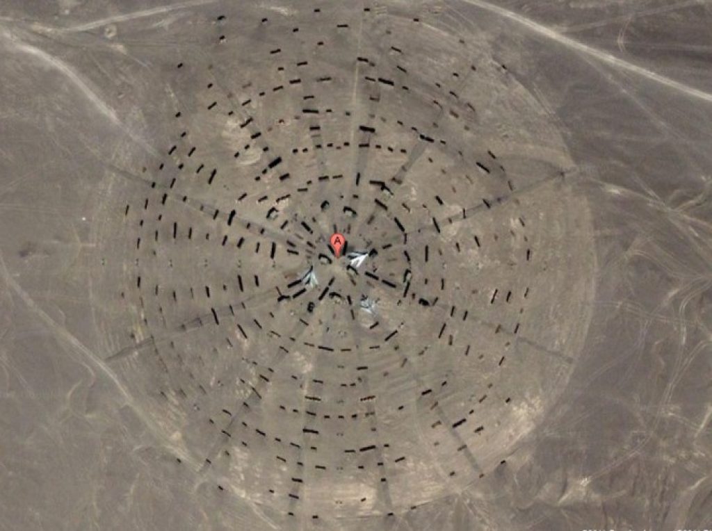
The photo show at the top of this writeup is, according to Wired, "located in Dunhuang, Jiuquan, Gansu, north of the Shule River, which crosses the Tibetan Plateau to the west into the Kumtag Desert. It covers an area approximately one mile long by more than 3,000 feet wide." Here's the Google Maps link, so you can see it for yourself. Any ideas what it is?
Here's another, which you can peruse here:

And here's a third:
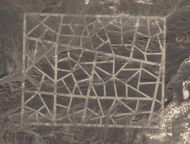
Other visual oddities can be found within the Wired Magazine piece. Still stumped as to their purpose? To be clear, China's not saying. But per a follow-up Slashdot piece, "The grids of zigzagging white lines seen in two of the images — the strangest of the various desert structures — are spy satellite calibration targets, according to one NASA scientist."
The Slashdot discussion at both above links is, as usual, equal parts educational, amusing, disturbing and annoying. I commend it to your inspection.